Description
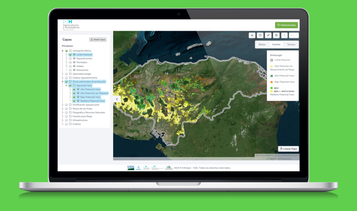
Interactive maps system developed for the Ministry of Agriculture, through the Agri-Food Information Service - INFOAGRO, managed by the Honduran Foundation for Agricultural Research - FHIA, aiming to provide users with access to a range of resources and services based on geospatial information of the agri-food sector production in Honduras.
Tasks Accomplished
As part of a consultancy carried out for the Ministry of Agriculture and Livestock of Honduras, I developed a portal capable of publishing geographic layers using GeoServer as the spatial data server. Django was used to handle the backend and system API, while the ReactJS JavaScript library was used for the frontend.