Full-Stack Dev2022 · Secretaría de Agricultura y Ganadería
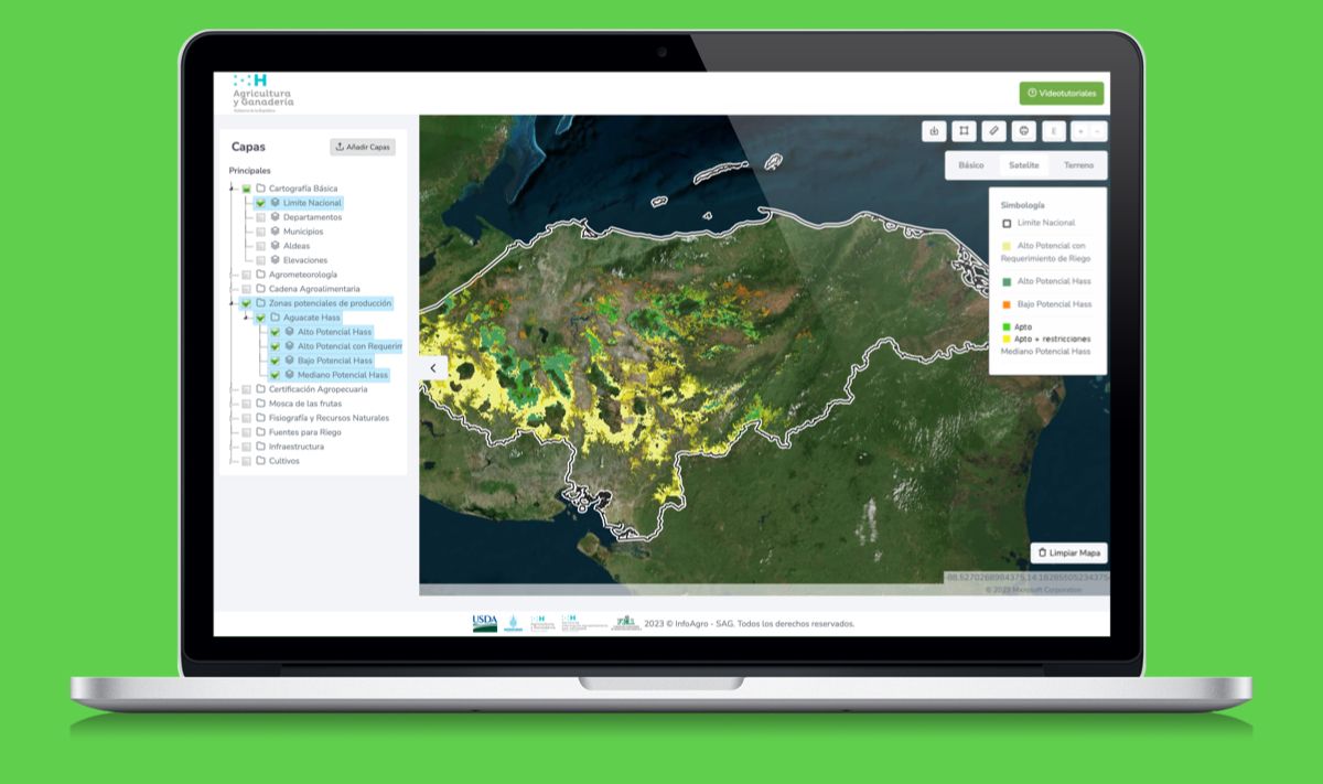
Agromapas Cartographic Viewer
Interactive geospatial platform developed for the Ministry of Agriculture of Honduras, giving users access to maps and data about agri-food sector production across the country. Built end-to-end from backend to frontend.