Description:
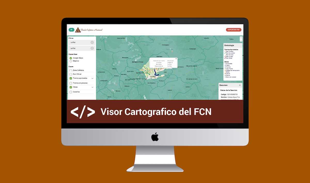
The aim of this project was to facilitate access to digital maps and georeference projects to improve decision-making for the National Coffee Fund.
Tasks Accomplished
In this project, I developed a cartographic viewer for the National Coffee Fund (FCN), which allowed for queries on investments, serviced kilometers, coffee-growing regions, among others.